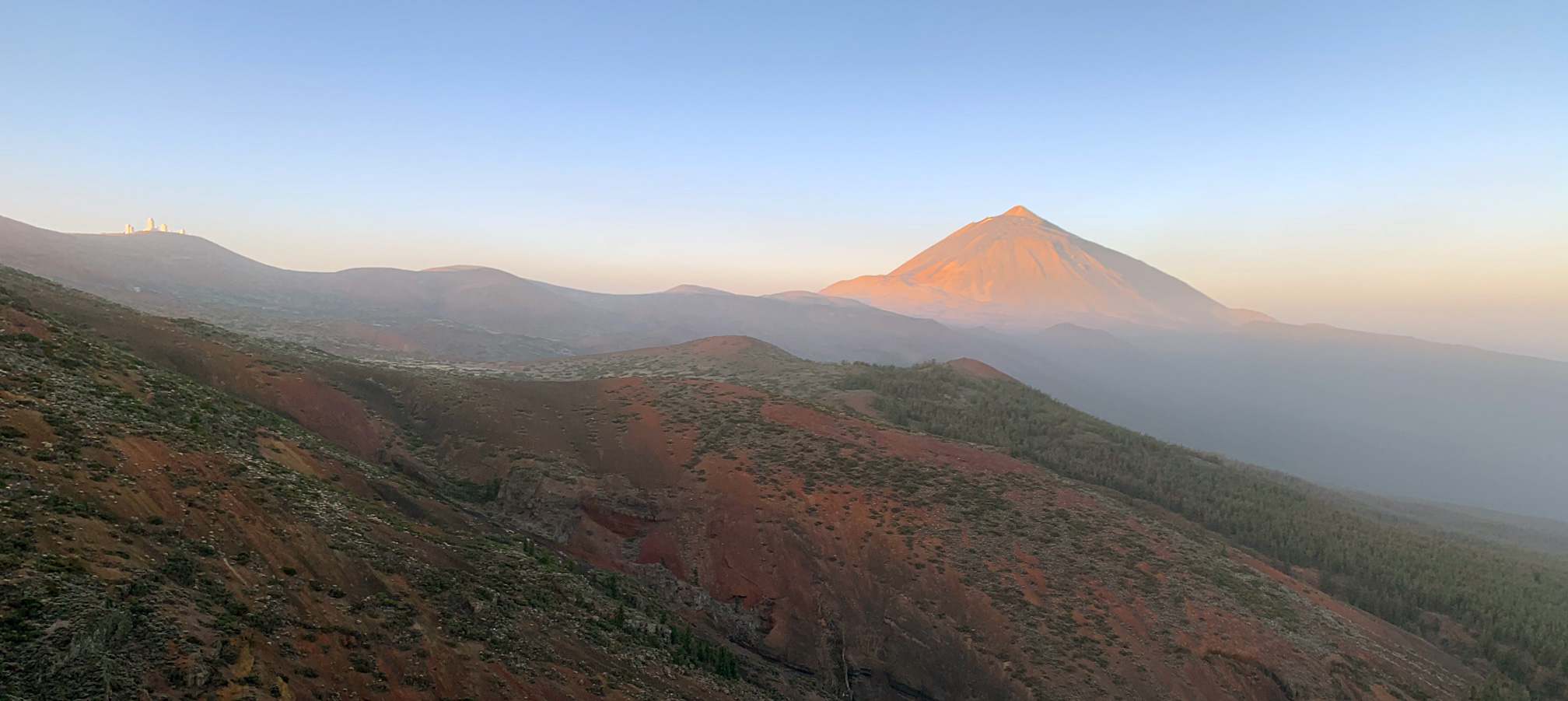
Canary Islands, Tenerife: Teide National Park #2
Ascent to the Pico del Teide in the Teide National Park: Sendero Telesforo Bravo and Mirador de Pico Viejo
February 2020
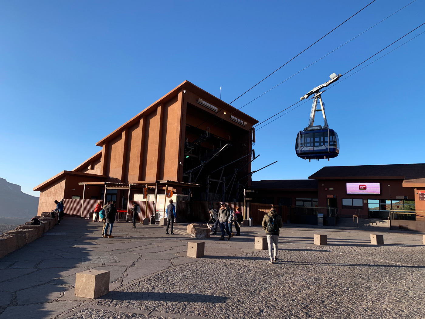
After our unsuccessful attempt to go up by cable car to the top station, due to the weather conditions and since we had reserved the free access permission to the peak on that day, we were informed that we could have up to 2 consecutive days to exchange the ticket and use our access permission to the path that goes up to the summit.
On this second day we hoped that the weather conditions would allow us to reach the upper station of the cable car located in La Rambleta at 3,555 m (11,663 ft) above sea level and from there to climb on foot along the limited access path "Telesforo Bravo" to the Pico del Teide (Teide Peak) located at 3,715 m (12,188 ft) according to the official measurement of the National Geographic Institute.
Teide is the third highest volcanic structure on the planet, after Mauna Loa and Mauna Kea in Hawaii
As we approached the Teide by the road it became clearer that this time it was the good one, the summit was perfectly clear and there were no threatening clouds. We parked comfortably as we anticipated the opening time of the ticket office and, without any problem, we were redeemed for the tickets of the previous day. The wait to get to the cable car cabin was a moment of concern. We were worried about the temperature at the summit and the so-called "altitude sickness" due to the lack of adaptation of our body to hypoxia (lack of oxygen), we knew that we had to climb without hurry and that we should avoid dehydration, but we did not know how it would affect our individual condition.
Sendero Telesforo Bravo: Pico de Teide
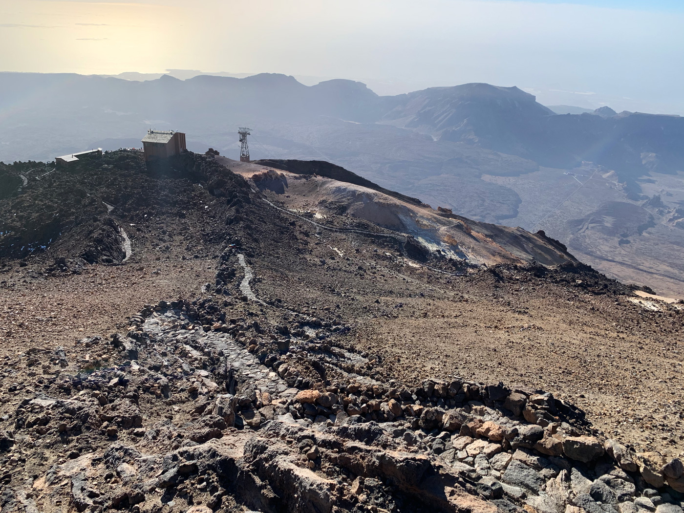
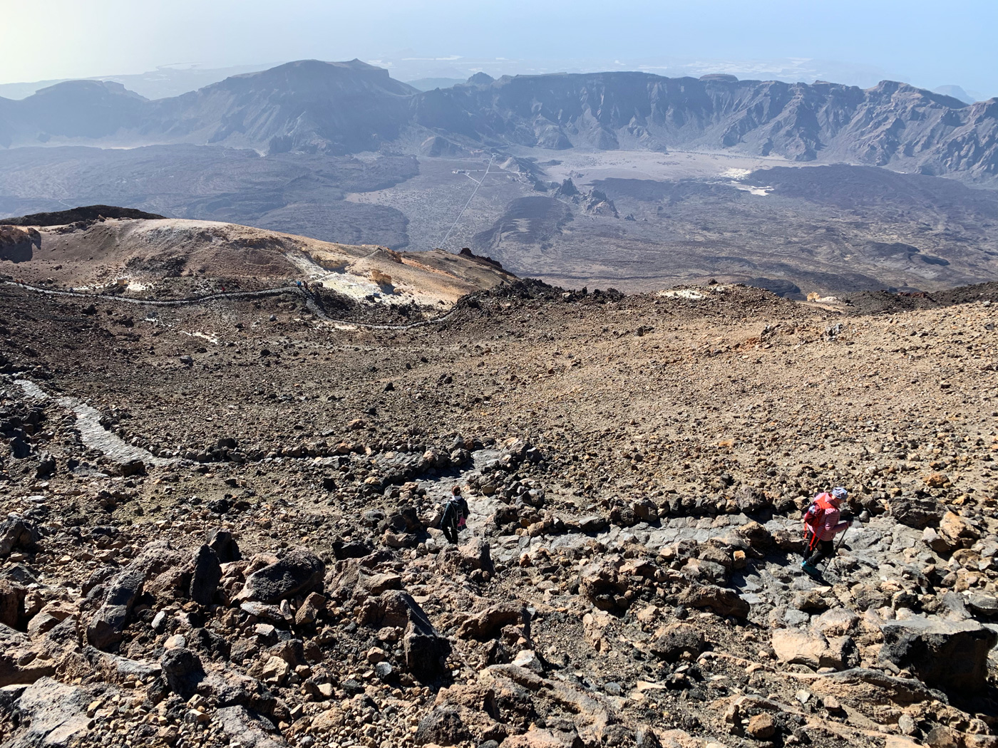
The ascent by cable car was fast, exciting and fun, especially each time the cabin went over each of the pillars that support the wiring. Finally, we were up, the day was clear, and the temperature was pleasant within what one can expect in the high mountains in February. A few metres from the station is the control point of the Telesforo Bravo path. After showing our permissions, we begin the ascent along the clearly marked cobblestone path. Before us, little more than 600 m (1,968 ft) and 160 m (524 ft) of altitude change that are crossed in great part in zigzag and that we carry out calmly, adding small pauses from time to time to drink and to take some photos.
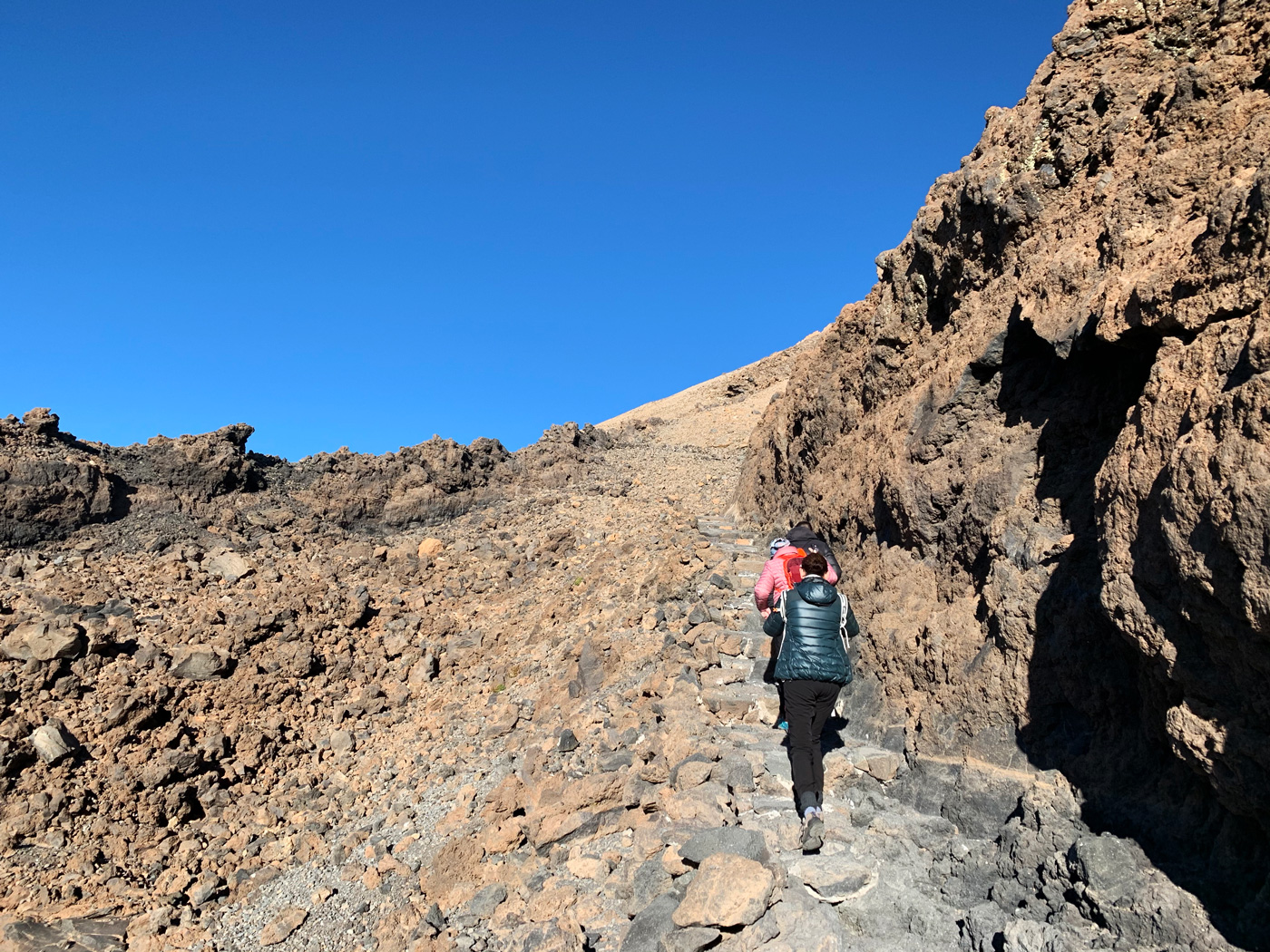
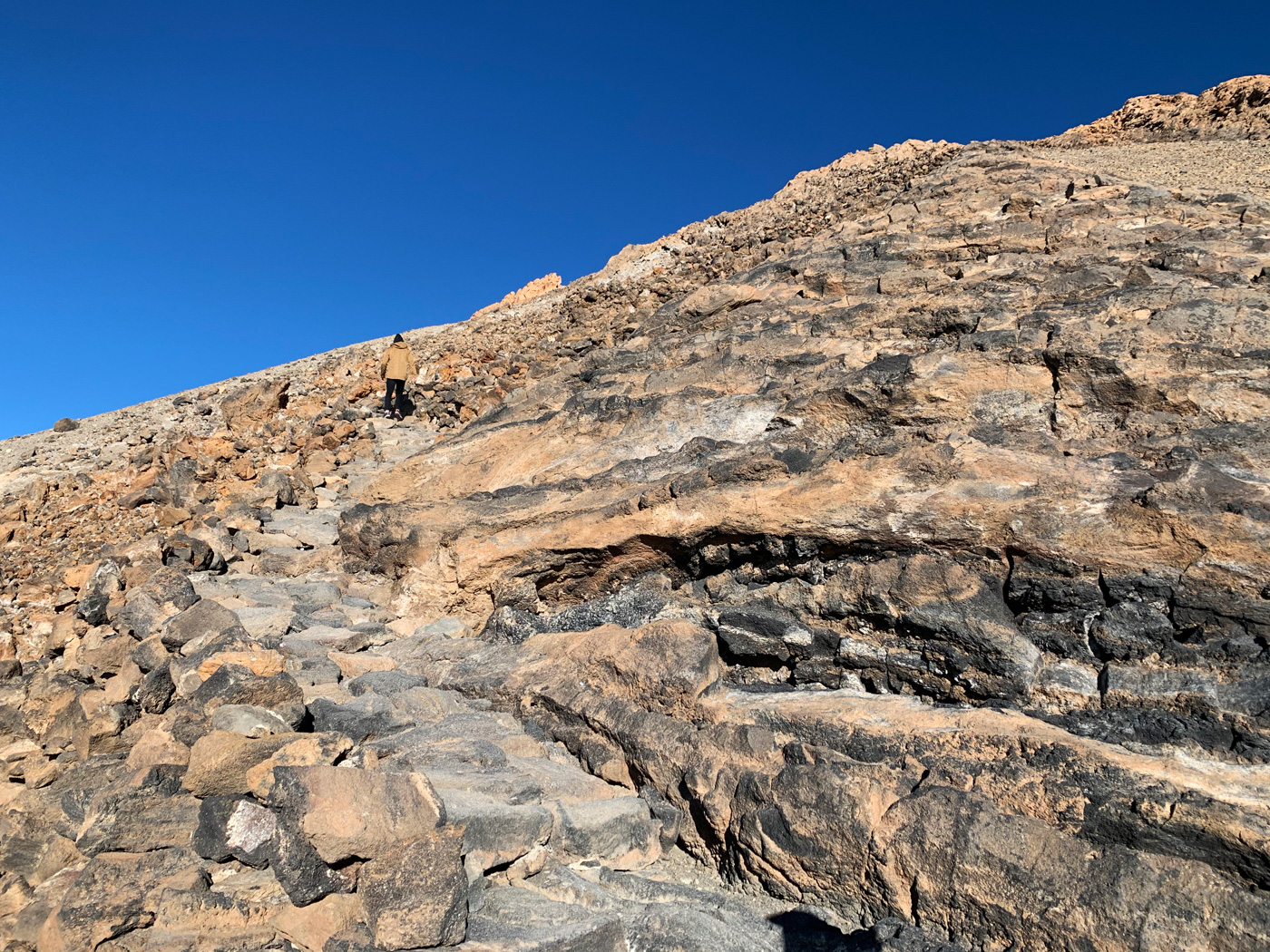
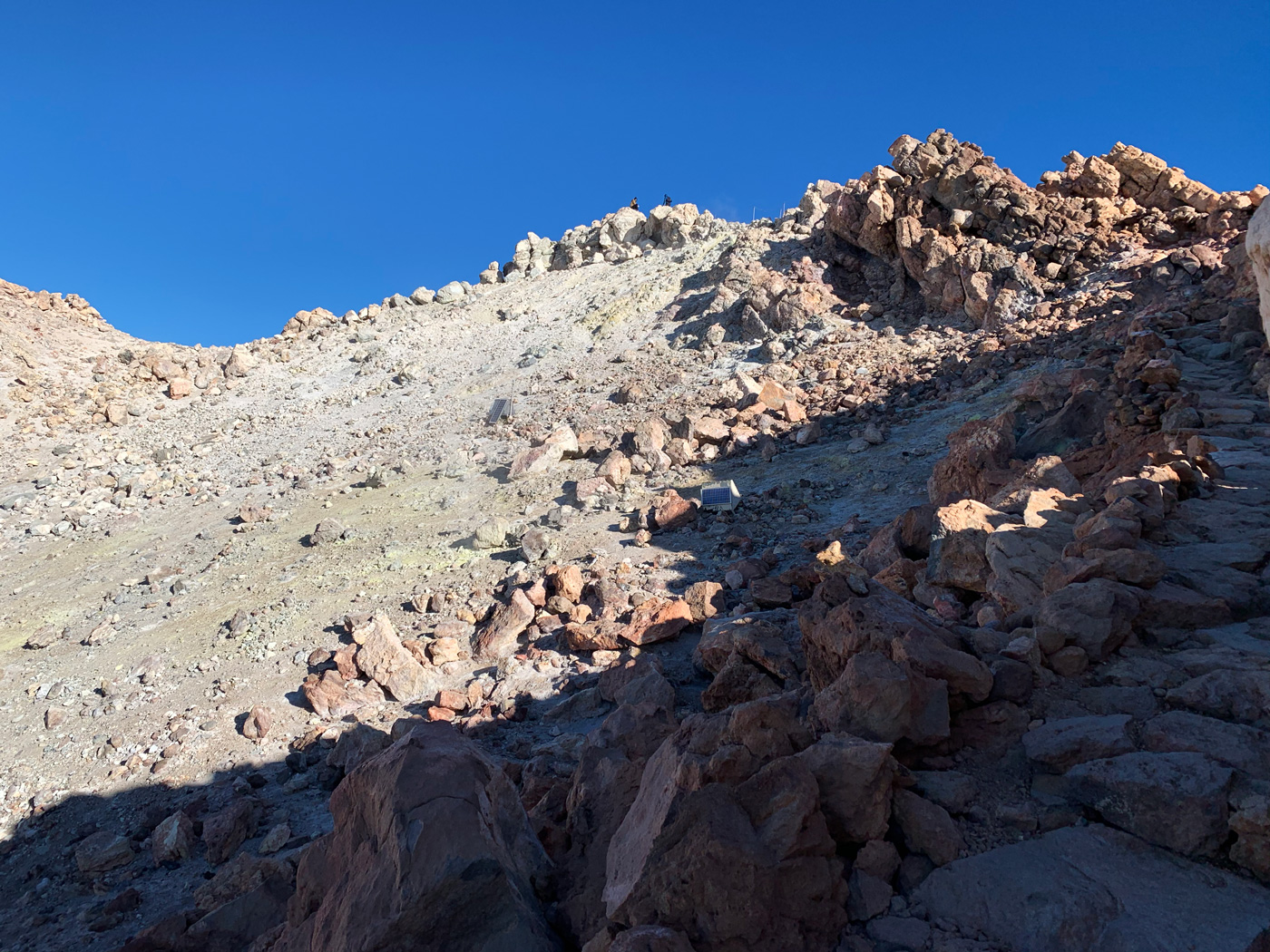
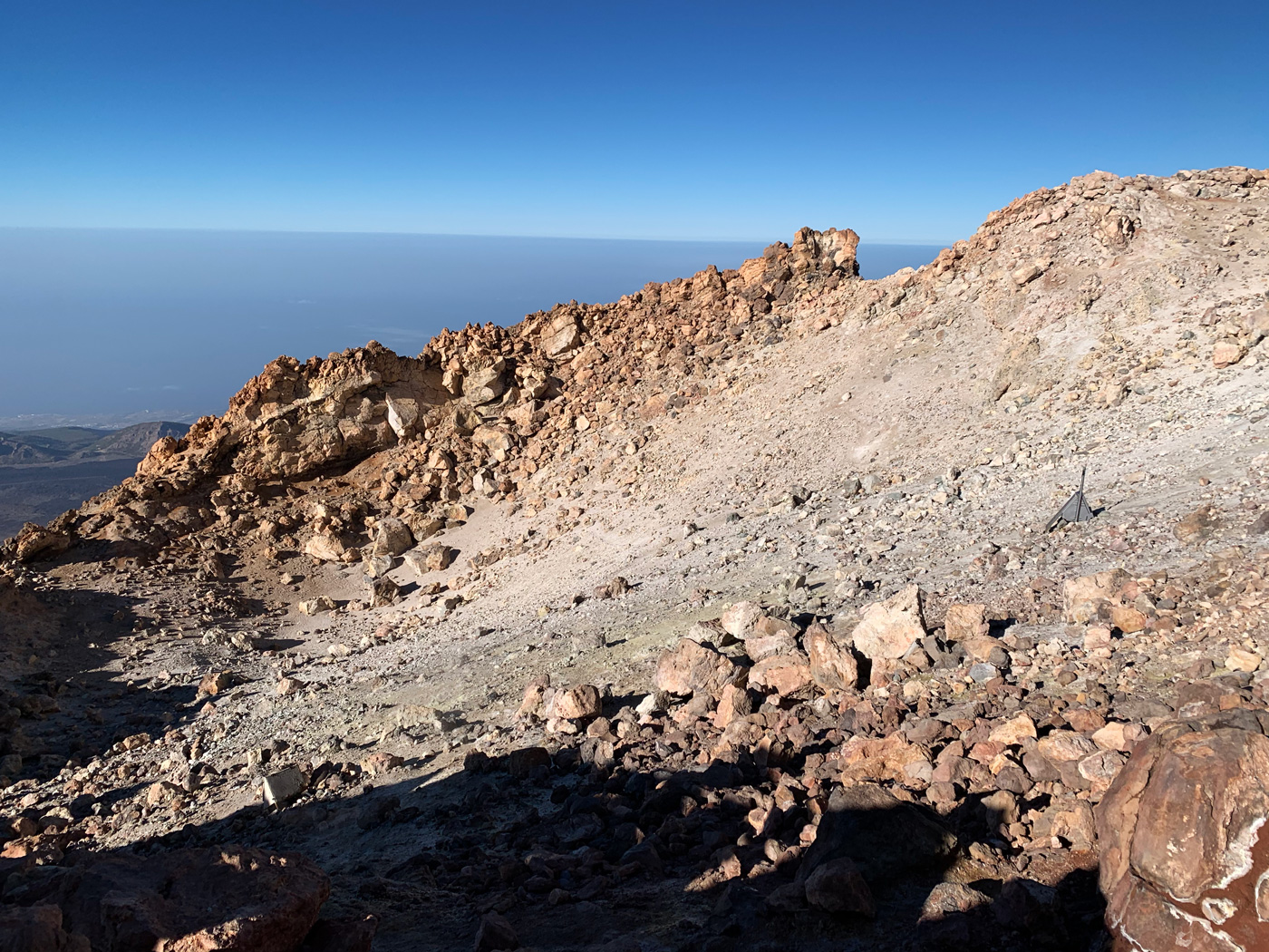
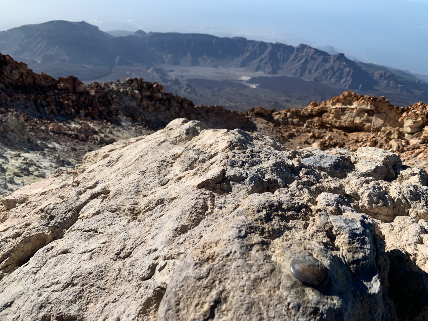
Finally we skirted the crater, at first we were not aware of it despite the slight fumaroles or the smell of sulphur, since being on a slope and having the edges not very defined by the lava overflow does not have the typical structure of a volcano that each of us keeps in our imagination, but we were actually in front of the crater and a few metres away we found the geodesic vertex stuck in the rock that marks the highest point; in a few minutes at the summit we were already 10 people and… they were celebrating 2 birthdays!
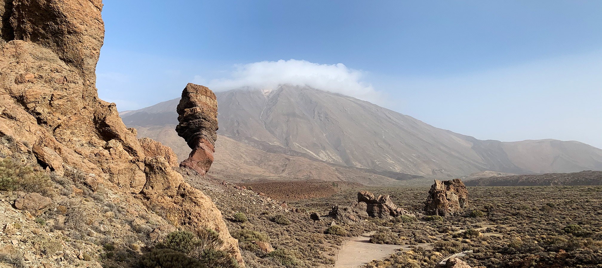
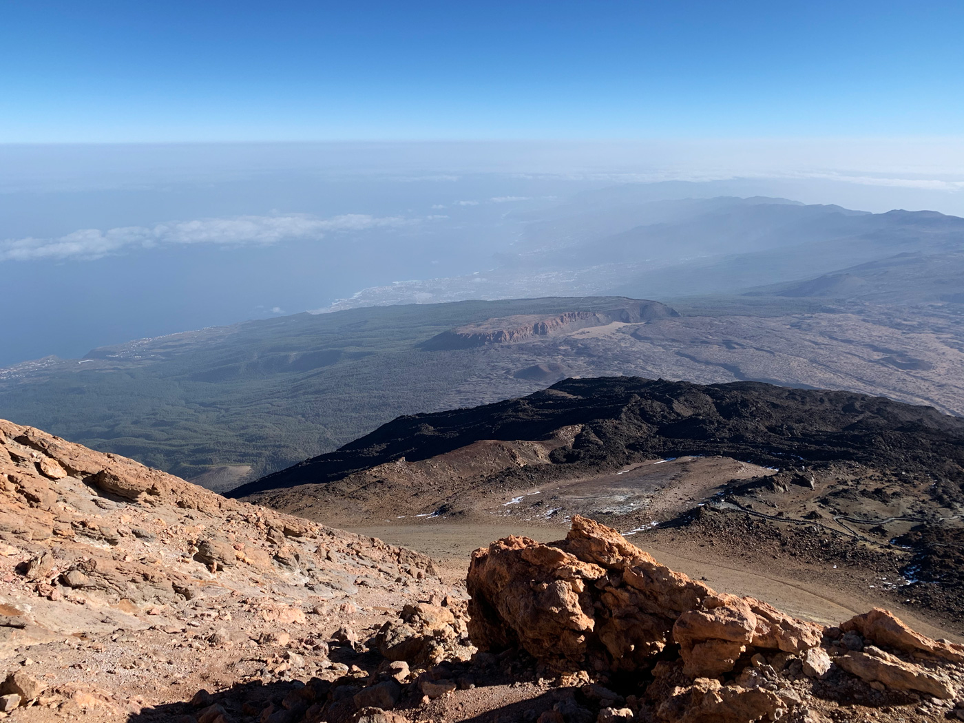
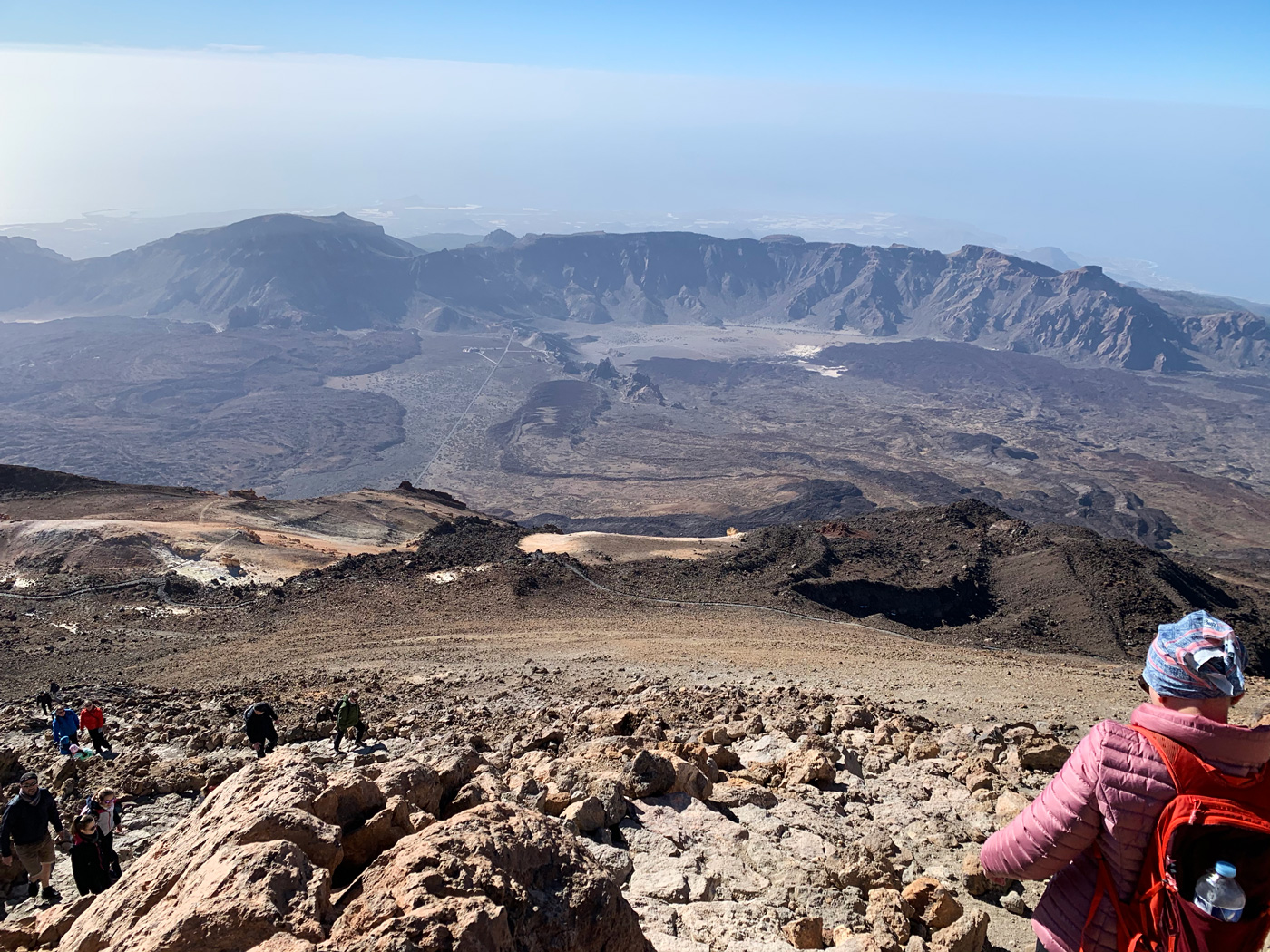
After the minutes of landscape contemplation from the highest point of the island and taking the pictures of those who conquer such a high peak, it was time to go down as we assimilated the gratifying experience. It is in this part of the route when you find the Teide National Park most impressive. From the heights you can identify the Parador de Turismo, the Roques de García (which we had visited the day before) and the Llano de Ucanca.
A hiking route?
With jjiffy you will be able to gather all the photos that your friends or family are taking during the walk
Plus
9.99 €
360 exposures
6 months
Mirador de Pico Viejo
Back in La Rambleta, we decided to approach the Mirador of Pico Viejo (Pico Viejo Lookout Point) following the path that is free access, a volcanic route in which ancient lava rivers and some fumaroles are crossed, as we move towards the lookout, we begin to see the crater of Pico Viejo with a perfect and huge mouth of 800 m (2,624 ft) in diameter that meets our expectations about what you expect to find when you think of a volcano.
Already in the lookout, in clear days it is possible to come to see the south coast of Tenerife and the islands Gran Canaria and La Gomera, as it indicates an informative panel, although we had to throw a little of imagination to distinguish them. From the lookout point itself, the beauty of Pico Viejo invites you to follow the path to get closer to it but those are already big words. We knew that the walk is long and there is also a time limit to return by cable car.
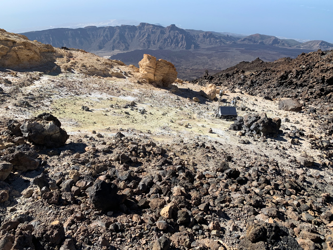
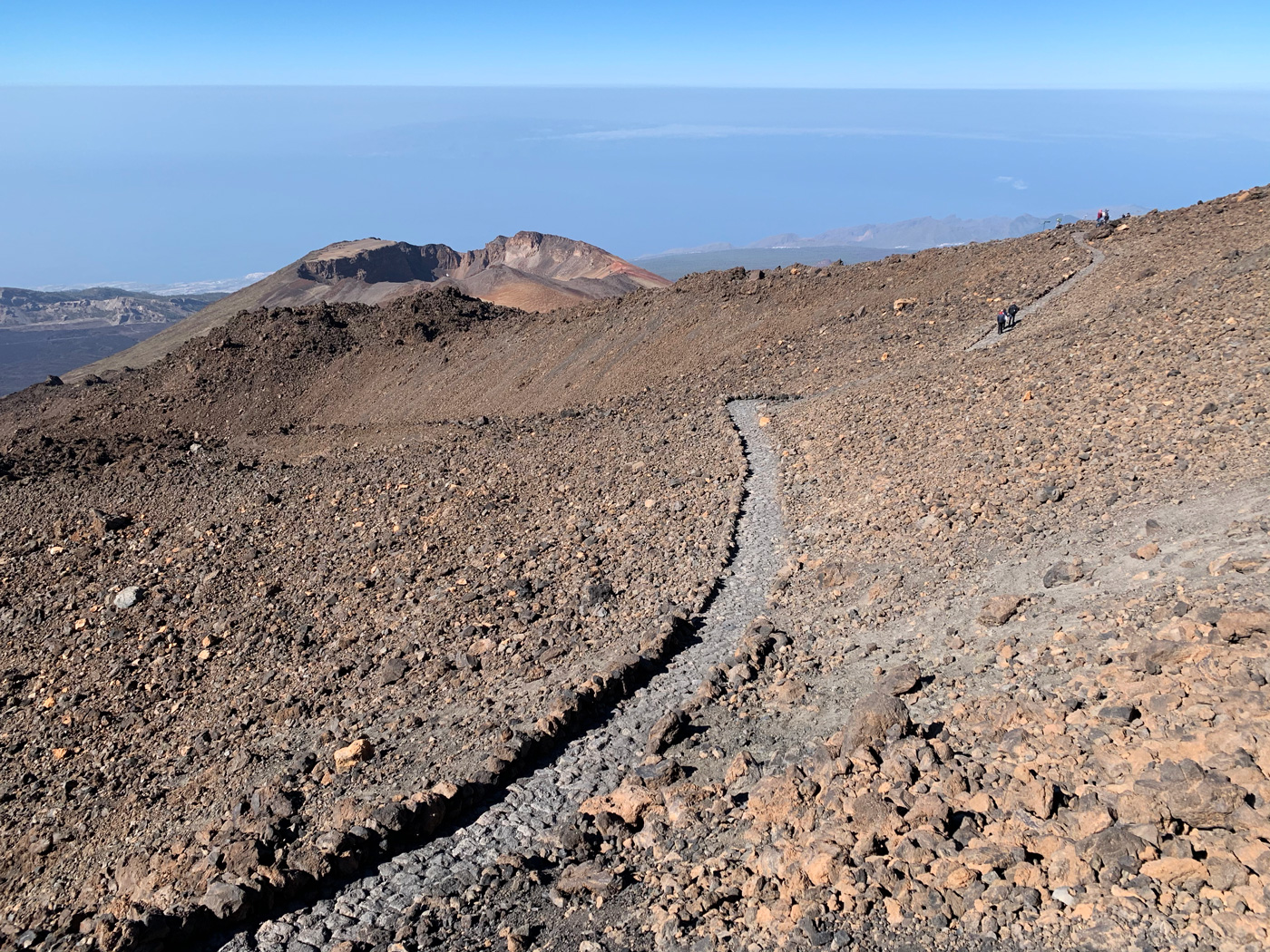
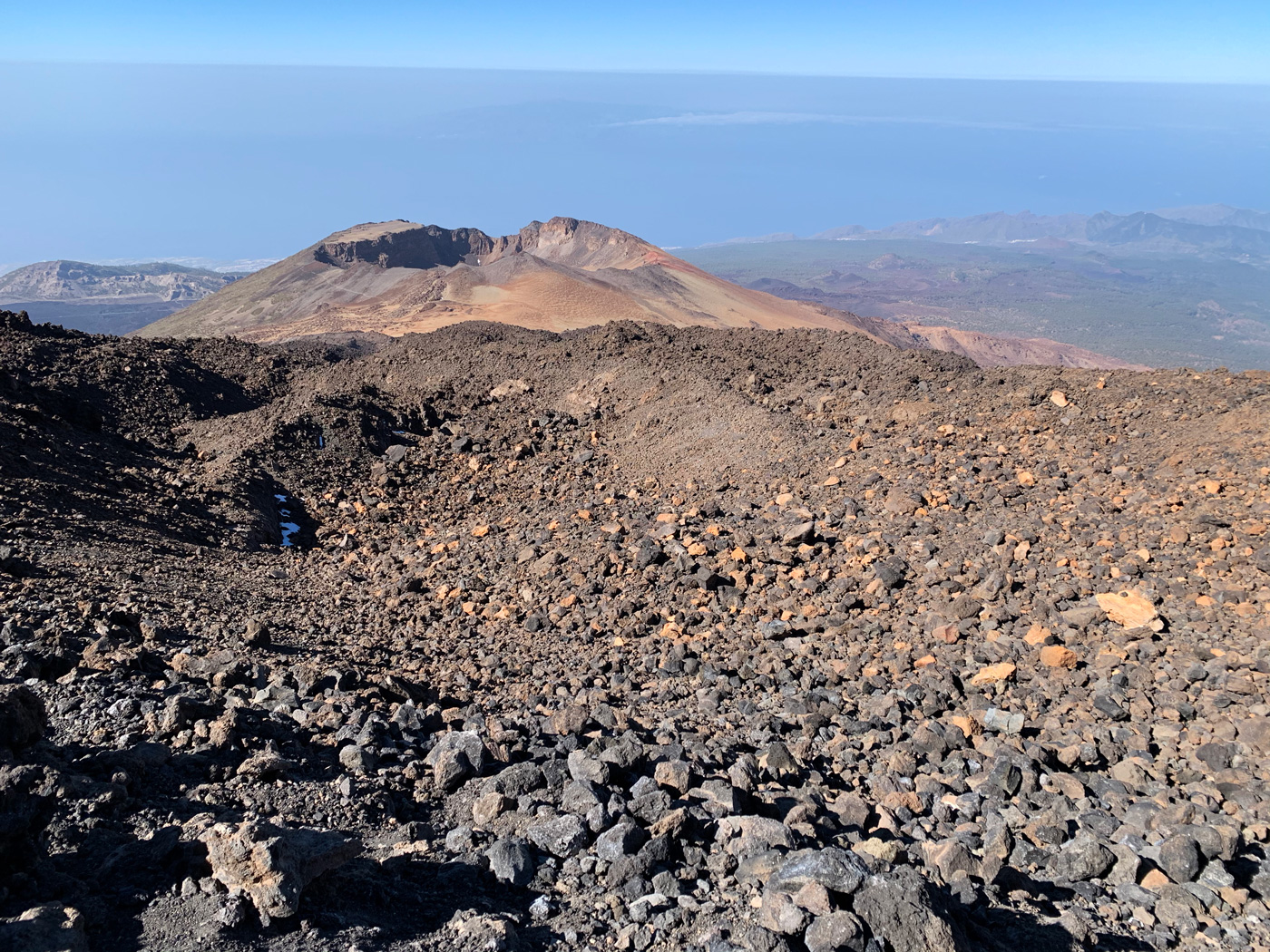
The return from the lookout is done by the same path we just walked, it is a linear route, the path is clearly defined, it is not complicated, and it is not too long despite the height and the uneven terrain. Back in La Rambleta, the influx of people was significant, and a small queue was formed to use the cable car back to the base station where you can enjoy a small rest area in addition to offering bar and restaurant service.
We had completed our visit to Pico del Teide, the main reason for our trip to Tenerife. The adverse weather conditions that had prevented us from accessing the day before, turned into a very pleasant day, especially the temperature. We were very happy with the experience and we certainly recommend it to the general public.
